The fishery
The Flats
Six thousand feet of water on one side of the island. On the other, you can step off the sand and start walking.
Chub Cay keeps its two fisheries back to back. The south side drops into the Pocket, a mile of blue water within sight of the dock. Turn around and the north side does the opposite: something like twenty-five miles of flats spreading out across the Great Bahama Bank, shallow enough to walk for most of a tide.
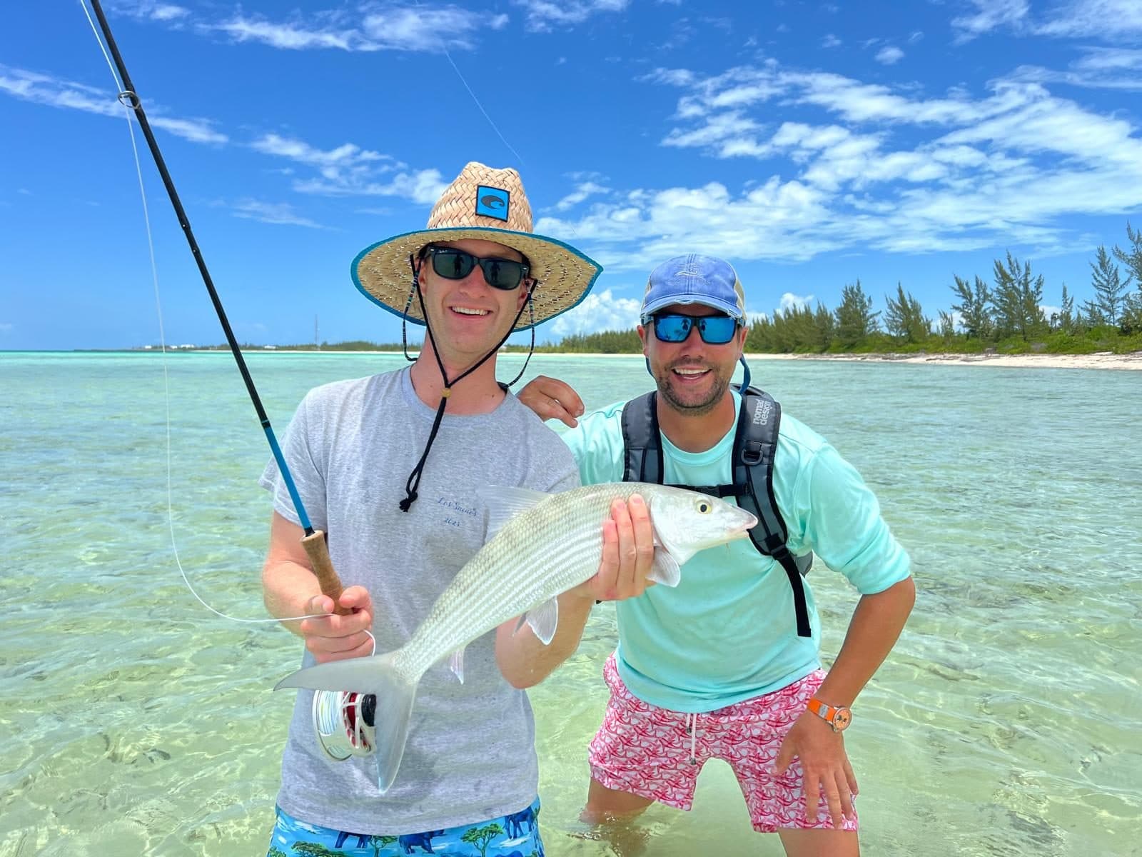
They start closer than people expect. Land on the strip, clear customs, and the edge of them is about fifty feet behind the building — near enough that anglers have been known to take a golf cart along the shore, park, and wade in. Guides run skiffs to the further ground, the creek mouths and the outer edges, but a good day here does not require a boat.
The ground changes as you go. Firm white sand you can cover fast and see a long way across, then turtle grass where the fish feed and are harder to pick out, then mangrove creeks at the margins that fill and drain with the tide. Tide is the thing to plan around rather than the hour of the day — fish push up with the flood and drop back as it goes.
What sets the place apart is the size of the average fish. Ask why and you get pointed straight back over the island: all that fertile deep water on the other side feeds this shallow ground. The same geography that makes the Pocket work makes these bonefish bigger than the Caribbean average — five pounds is an ordinary fish here, and they run well into double figures. Permit turn up too, from Chub north through the chain.
The season runs roughly early October through mid-June, when cooler water brings the schools up. Guides and skiffs are arranged through the front desk.