The fishery
The Pocket
A hundred and fifty miles of deep water with one door — and the door is off the end of our dock.
The Tongue of the Ocean is a trench about twenty miles wide and a hundred and fifty long, running south between Andros and New Providence. It is closed at its southern end and along both flanks — bank, reef and shoal the whole way round. It opens to the Atlantic in exactly one place: the north. Chub Cay sits on that opening, where the trench is also at its deepest, a little over 6,600 feet.
That geography is the whole story. Anything moving between the open ocean and a hundred and fifty miles of deep water has one door, and the door is here. The Pocket is the bowl bitten out of the bank edge beside it, where ground shallow enough to wade for miles falls away to blue in a boat length or two.
Edges like that do the work for you. Current pushes against the wall and lifts cold water up it, bait stacks along the line, and everything that eats bait follows. On a southeasterly the fish get pushed further into the bowl still. It is why boats have trolled the same contour for generations, and why the run out is measured in minutes rather than hours — the drop-off is not somewhere you steam to, it is off the end of the dock.
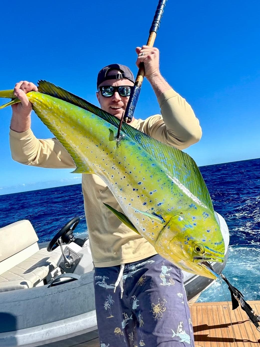
Blue and white marlin and sailfish through the spring, wahoo through the cool months, with yellowfin and blackfin tuna, mahi and kingfish across the calendar. Our season is built around it: the Winter Wahoo Shootout in January while the wahoo are thick, then the billfish tournaments from February through the first weekend of April.